
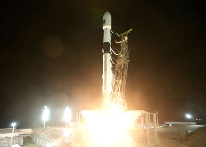
SANTA BARBARA (Web Desk) SpaceX has successfully launched the Sentinel-6B satellite from Vandenberg Space Force Base in California, marking a major boost to global efforts to track rising sea levels and monitor ocean conditions.
The mission lifted off aboard a Falcon 9 rocket at 12:21 a.m. ET on Monday, also making history as SpaceX’s 500th orbital flight using a previously flown booster.
Sentinel-6B, developed through a collaboration among NASA, ESA, NOAA, Eumetsat and other European partners, will provide highly accurate measurements of sea surface height. Orbiting at about 830 miles, the satellite will map roughly 90% of the world’s oceans and deliver crucial data on sea level rise, ocean currents, and wave patterns.
The satellite is the twin of Sentinel-6 Michael Freilich, launched in 2020, and the pair will operate together initially to ensure precise cross-calibration. Equipped with advanced radar and atmospheric sensors, Sentinel-6B will extend more than three decades of continuous ocean-height records.
NASA said the data will support coastal planning, flood forecasting, shipping routes, search-and-rescue operations, and disaster preparedness as climate change intensifies extreme weather. The information will also benefit national security and help guide future space missions, including safe reentry planning for Artemis astronauts.
The Falcon 9’s first stage returned to Vandenberg minutes after liftoff, completing its third flight and underscoring SpaceX’s progress in reusable rocket technology.
With Sentinel-6B now in orbit, scientists expect a new era of precise ocean monitoring, strengthening global readiness for rising seas and climate-driven challenges.